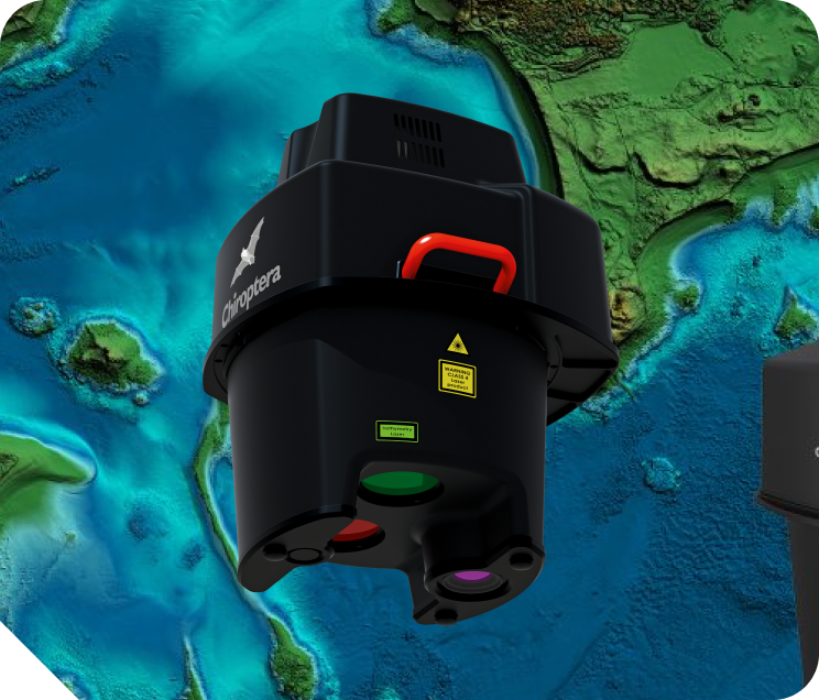
Airborne bathymetric LiDAR
Hexagon's airborne bathymetry utilises LiDAR to measure the distance between an aircraft and the seafloor, creating intelligent maps for assessing the density of the seagrass ecosystem and its carbon storage potential. The Leica Chiroptera-5 collects highly accurate topographic LiDAR data, bathymetric LiDAR data, and 4-band imagery simultaneously.