Explore Scan Technology
Bathymetric LiDAR
Depth Elevation Model
Digital elevation model built on ultra-accurate 140,000 points per seconds aerial LiDAR scanning, generating a 3D layer of the seabed.
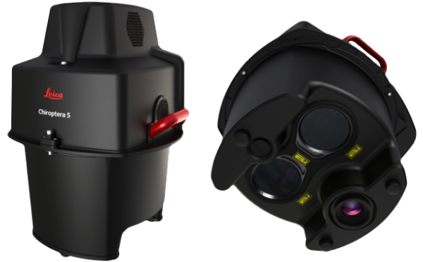
Leica Chiroptera-5
bathymetric and topographic
LiDAR device